Hurricane Simon Storms Threaten Millions With Flooding Across 11 States
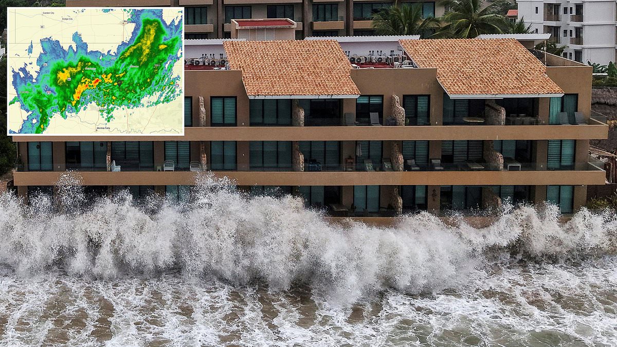
Dangerous storms powered by Hurricane Simon have triggered urgent warnings for millions across eleven US states. Residents face life-threatening conditions within hours as torrential downpours and wind gusts reaching 70mph sweep the region. Forecasters predict severe lightning, large hailstones, and flooding will impact areas from Wednesday morning until Thursday night.
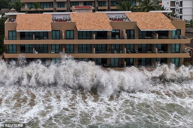
The National Weather Service issued flash flood warnings to over one million people in the Oklahoma City area starting Wednesday morning. Officials urge residents to stay off roads because up to eight inches of rain are expected to fall across the South. Flood watches cover Texas, Kansas, and Missouri on Wednesday as well. Severe thunderstorms and flooding will also strike Arkansas, Illinois, Indiana, Kentucky, Ohio, Tennessee, and West Virginia.
Meteorologists warn the worst of the storms will hit a large swath of Texas and Oklahoma Wednesday night around 9pm local time. AccuWeather has told residents throughout the region to expect travel delays due to widespread thunderstorms. They added that these storms draw moisture from Hurricane Simon, which struck Mexico's Pacific Coast this week. This weather system combined with a surge of tropical moisture from the Gulf of America to produce a massive rainstorm over the US.
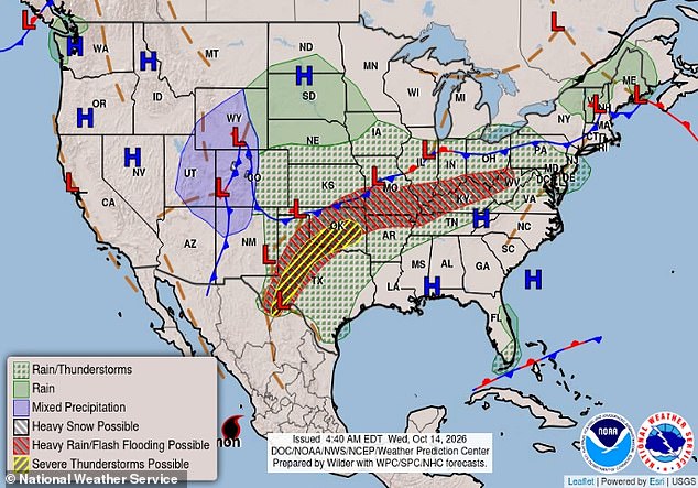
AccuWeather Meteorologist Jack Wojczynski said in a statement: 'Very heavy rainfall rates can cause low visibility and disrupt travel.' He noted that heavy rain will definitely disrupt the Wednesday and Thursday evening commute. A few thunderstorms may become severe across the region. Severe thunderstorm and flash flood warnings were issued throughout several states on October 14, 2026.
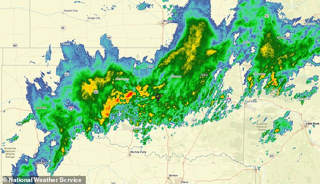
The National Weather Service issued an urgent flash flood warning to over one million people near Oklahoma City Wednesday morning. The Oklahoma City Fire Department said they have already responded to reports of downed power lines and a possible drowning as the heavy rains move in. A body was not found Wednesday morning, but emergency crews were seen rescuing other drivers who had driven into floodwaters in northeast Oklahoma City.
The department posted on social media: 'Please slow down, allow extra stopping distance and never drive into flooded roadways. Turn Around, Don't Drown!' NWS added: 'In hilly terrain there are hundreds of low water crossings which are potentially dangerous in heavy rain.' Do not attempt to cross flooded roads.
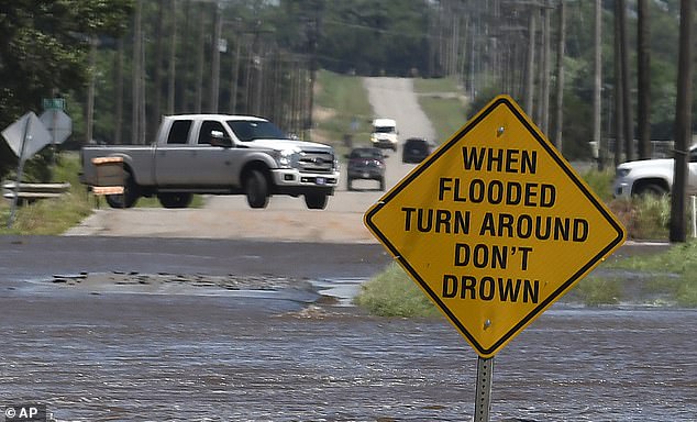
Find an alternate route." Drivers face real danger if they ignore flooding or downpours that could strand them on Wednesday. AccuWeather issued a stark warning about wind gusts hitting 80mph, matching the force of a Category 1 hurricane. Severe thunderstorms will hit millions across a vast stretch from Lubbock, Texas in the South up to Cincinnati, Ohio in the Upper Midwest. Rain showers and localized flooding are set to ripple through Colorado, Delaware, Iowa, Maryland, Nebraska, New Mexico, Pennsylvania, and Virginia on Wednesday. More storms and flooding loom for Thursday. Wojczynski stated that by Thursday night a large swath of 2-4 inches of rain falls from western Texas into central Illinois. A corridor between 4-8 inches stretches from northwestern Texas through central Oklahoma into Missouri. NWS officials told residents to stay off roads and avoid flooded streets. Hurricane Simon struck the Mexican coast this week, fueling the current storm. The worst thunderstorms on Thursday will sweep over a narrow corridor of Oklahoma, Kansas, Arkansas, Missouri, Illinois, Indiana, and Ohio. Damaging wind gusts up to 65mph are expected alongside more flooding and dangerous lightning strikes. The system also triggers a major cooldown across the Central US. Temperatures plummet by up to 30 degrees by week's end. AccuWeather predicts high pressure replaces the massive low-pressure rainstorm as it moves east into the weekend in states like Kansas, Nebraska, and Iowa. Daily highs will drop from the 80s and 90s down to the 60s.
Photos