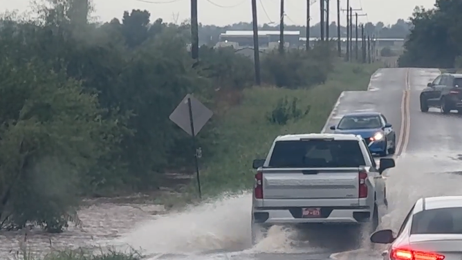
Heavy rains spark flash flood risk across Central and West Texas
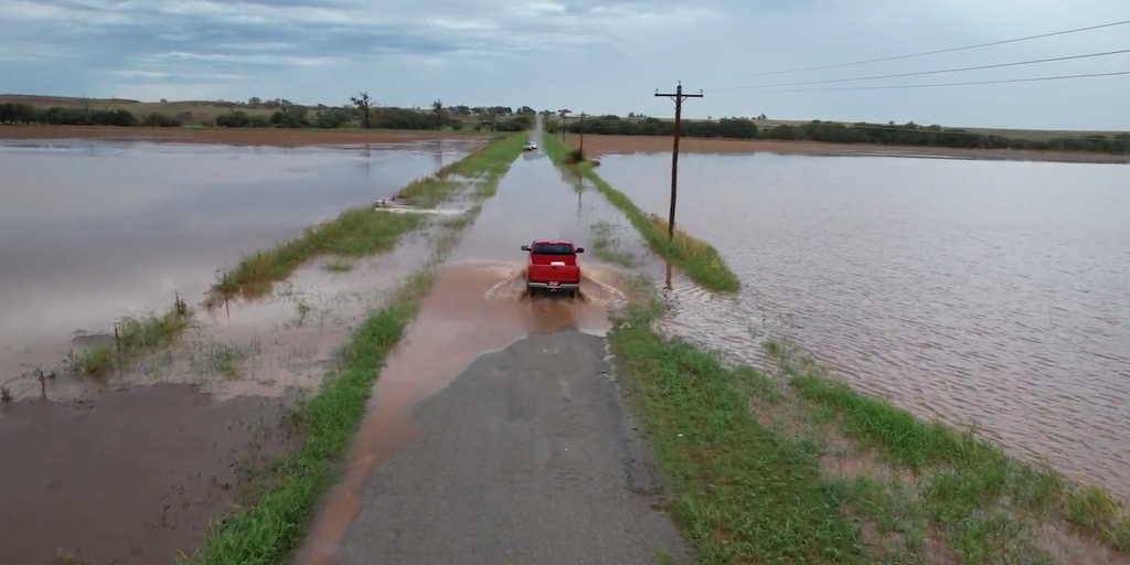
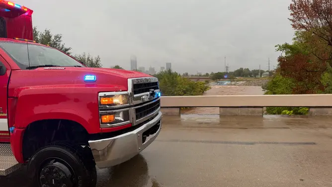
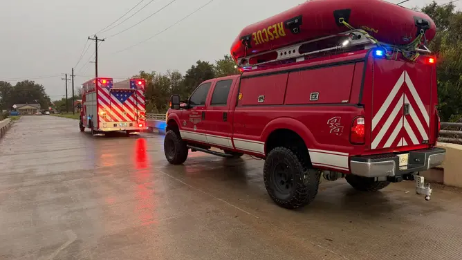
Heavy rains from tropically enhanced storms slammed the Southern Plains, pushing a new flood threat toward Central and West Texas. The Oklahoma City Fire Department responded to 35 accidents and five water assists early Wednesday. They also handled calls about downed power lines caused by the intense weather.
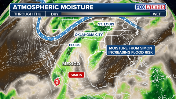
Oklahoma City saw more than 5 inches of rain on that day. This marks the second-wettest single day in the city's history since records began in 1890. A large dip in the jet stream is funneling moisture north from Tropical Storm Simon off the coast of western Mexico. This system churning near Mexican waters adds significant fuel to U.S. storms through Thursday.
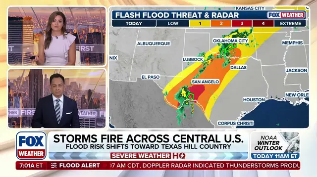
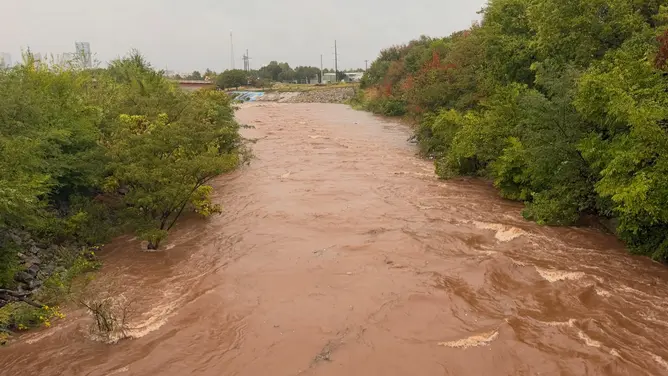
A Level 3 out of 4 risk of flash flooding covers areas south and east of the Davis Mountains on Thursday. Periods of heavy rain extend into North Texas, Oklahoma, and Missouri. Drone footage captured widespread flooding over fields and roads near Foss, Oklahoma, in the western part of the state Wednesday. Intense thunderstorms developed along a 1,500-mile corridor running from Texas' Big Bend region to Morgantown, West Virginia.
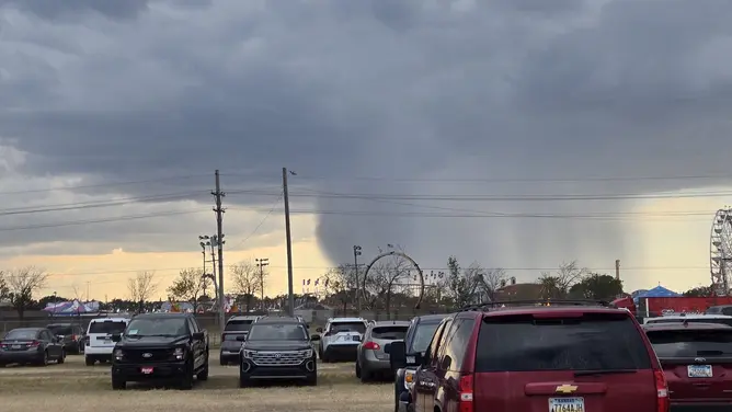
Severe storms also broke out across parts of the Southern Plains Wednesday afternoon. One tornado touched down near Fort Stockton, tearing through the town. The region experienced gusty winds, thunderstorms, and hail during this event. A storm chaser captured video of a grass fire in Foard County in north-central Texas that ignited from a lightning strike.
Flood Watches remain in effect for parts of West Texas through Central Oklahoma and into southeastern Kansas through Thursday evening. A Level 2 flash flood threat covers parts of West and north-central Texas through Friday morning. A broader Level 1 threat extends into parts of Missouri, including St. Louis, as well as southern Illinois and southern Indiana.
Despite the immediate danger, the rain has been beneficial for Oklahoma, Texas, and southern Missouri. These areas have been mired in Extreme to Exceptional drought conditions that limited growth for crops and livestock. Hurricane Trudy is forming in the Pacific and could rapidly intensify into a powerful Category 4 hurricane later this week. The situation remains fluid as moisture continues to feed these systems from the Gulf of Mexico.
Communities face real risks with shifting storm patterns and dangerous flooding potential. Access to timely information about flood watches can mean the difference between safety and disaster for residents in low-lying areas. Farmers and ranchers might find relief in the drought-breaking rain, but they must also manage sudden soil saturation that could cause erosion or runoff issues. Local crews are working hard to clear debris from roads and restore power lines downed by the wind.
Photos