El Niño Hits Record Pace: 'Super' Event Likely by Year's End
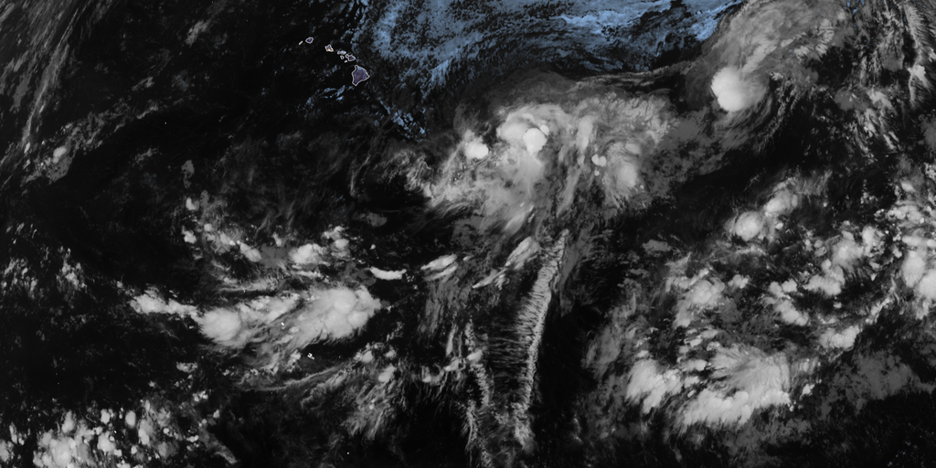
El Niño is moving fast toward record-breaking status, and the odds of it hitting 'Super' territory by year's end are climbing steeply. This natural shift in central Pacific Ocean temperatures changes atmospheric circulation and ripples through global weather patterns with major force. The National Oceanic and Atmospheric Administration reports that this current event carries a 69% probability of becoming the strongest on record since data collection started back in 1950.
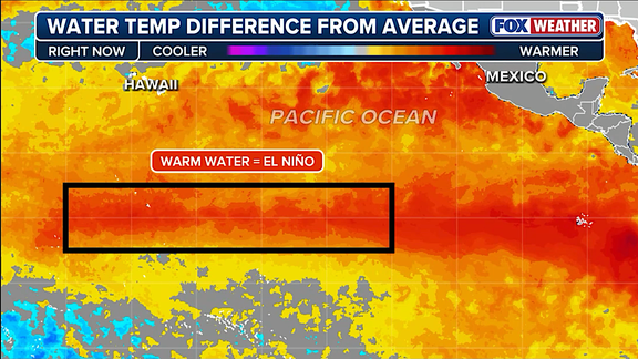
Scientists define El Niño as warmer than average water along the equatorial Pacific, while La Niña tracks colder conditions and ENSO neutral sits right in the middle. Right now, the phenomenon has strengthened significantly across the Central Pacific. By October through December 2026, it could reach historic strength levels that have never been seen before. Water temperatures in the specific zone were already sitting at 1.4 degrees Celsius above average during July, setting a dangerous pace for what comes next.
The forecast released Thursday by NOAA raises the likelihood of a top-tier event to 90% for this fall and winter season. That is a jump from an 81% chance noted in their earlier outlook back in July. When these temperatures stay at least two degrees above normal for three straight months, officials classify it as a Super El Niño. These rare events do not just affect the Atlantic hurricane season but also trigger massive shifts in weather patterns worldwide.
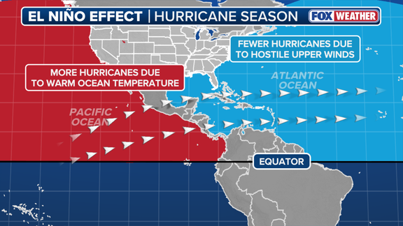
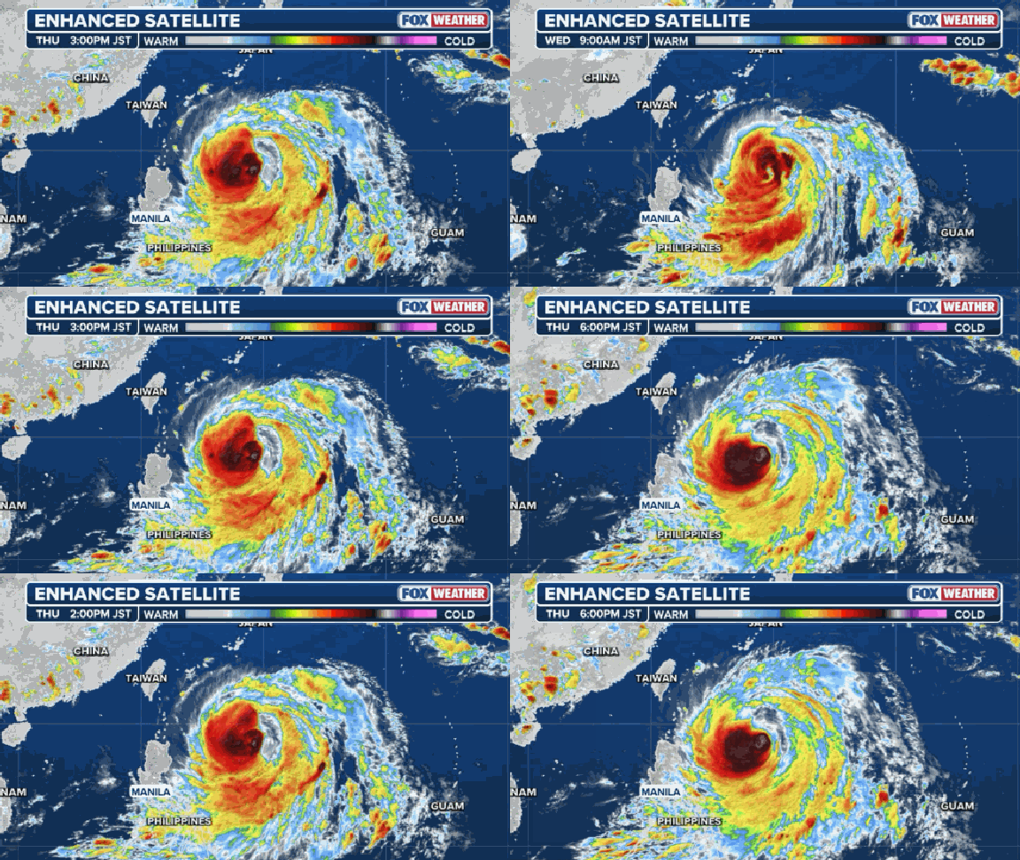
Hurricane activity in the Atlantic Basin usually drops during these times while storm power surges in the Eastern and Central Pacific basins. The FOX Forecast Center explained that concentrating deep warm water and low wind shear across the central Pacific turns that region into a hyper-fueled engine for major hurricanes and monster typhoons. Think of the subtropical jet stream as a belt of very fast winds high in the atmosphere that shifts position and strength during these cycles.
These strong winds hinder tropical development in the Atlantic because calm conditions are generally better for hurricane formation to begin with. Meanwhile, the script flips completely over in the Pacific where storm activity thrives instead of dying down. A record-breaking El Niño event could produce atmospheric impacts never before seen by researchers or meteorologists alike. NOAA warned that a strong event might create different impacts than those traditionally observed rather than similar hits just greater in intensity.
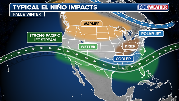
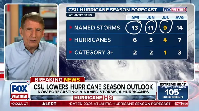
This corresponds to their updated 2026 Atlantic hurricane season forecast where scientists cited a very strong El Niño as the main driver for an expected below-average Atlantic hurricane season this year. Outside its impact on the hurricane season, El Niño also has a strong effect on winter weather across the Lower 48 states. An active winter is signaling itself for both the East and West coasts as conditions tighten up further.
Photos