Deadly Mid-Atlantic Storms Bring Flooding, Tornadoes And Fatalities
Deadly storms have left the Mid-Atlantic reeling, but a new wave of rain is ready to sweep south by Friday. Torrential downpours are expected to move across the Carolinas after Thursday evening's violence triggered widespread flash flooding along much of the Interstate 95 corridor and spawned at least two tornadoes on the East Coast.
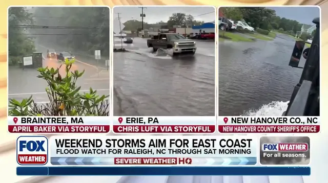
The flood threat looks set to linger through the weekend, putting most of the region at risk again. An advancing cold front dropped a line of powerful thunderstorms during the height of the evening rush hour, bringing traffic to a standstill and halting air travel at major airports along the coast.
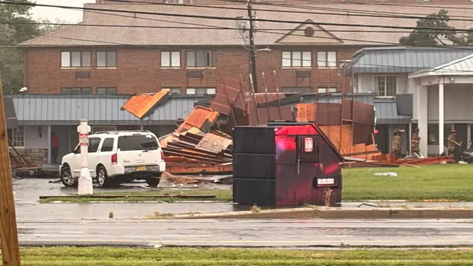
Tragedy struck early in Cape Charles, Virginia. Just after 3:30 p.m., lightning hit a Colorado man who was killed instantly. Town officials confirmed that a woman was also hospitalized during the same incident. Later, around 6:30 p.m., Dover, Delaware took a direct hit from a tornado. The twister damaged buildings and knocked out power from downtown and central Dover east toward the North DuPont Highway corridor. Police asked residents to stay off the roads while crews worked to clear debris and restore electricity. No injuries were reported in that specific event. This marked the second time a tornado has struck Kent County since 2021, following an EF-1 twister on March 16, according to data from NOAA's National Centers For Environmental Information.
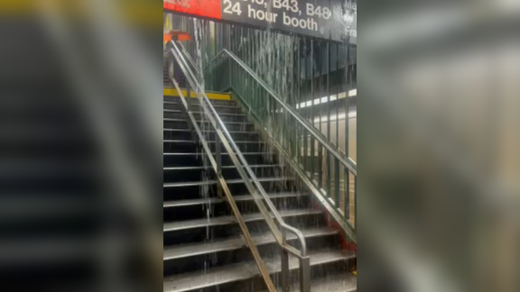
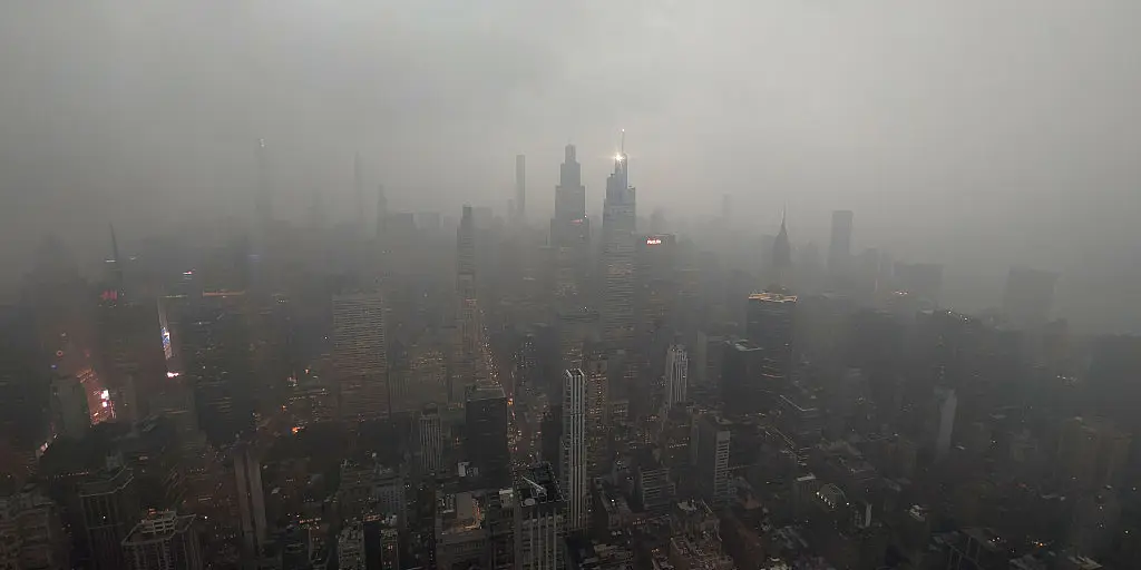
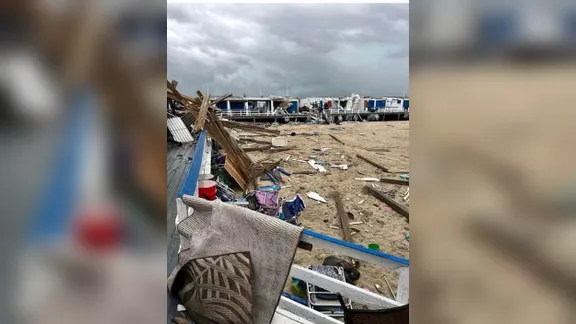
The rain rates Thursday were intense, clocking between 2 and 3 inches per hour. Such deluges caused widespread flash flooding across New York City highways and flooded subway stations during the peak of the evening commute. A Flash Flood Warning was issued for both New York and Philadelphia. The National Weather Service confirmed a tornado hit the City of Long Beach that same evening. In Atlantic Beach, a local beach club reported that the twister destroyed numerous buildings and cabanas.
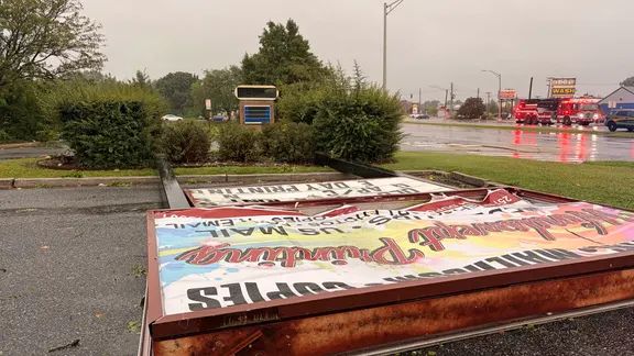
By Friday, the torrential rain is expected to shift farther south into the Mid-Atlantic and Carolinas. According to the FOX Forecast Center, thunderstorms will begin firing in the afternoon with more intense storms developing by evening. These systems could drop heavy rain while producing wind gusts up to 70 mph. NOAA's Storm Prediction Center has issued a Level 2 out of 5 severe thunderstorm risk for central and southern North Carolina and South Carolina, covering cities like Raleigh, Charlotte, and Columbia. A Level 2 flash flood threat extends farther north to include southern and central Virginia, hitting Richmond and Virginia Beach. A broader Level 1 flood risk stretches from just south of Washington, D.C., all the way down to Tallahassee, Florida.
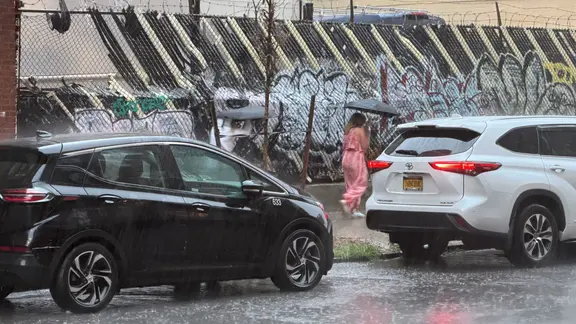
Saturday will see Philadelphia and Washington, D.C., right in the bull's-eye of the flood threat as the weather front stalls over the East Coast. By Sunday, a Level 1 flood threat covers Boston and Portland, Maine. The situation remains precarious for anyone planning their weekend travels or outdoor activities along this stretch of coastline.
Photos